El Nino, a weather phenomenon associated with warmer temperatures in the northern US and wetter weather in the south, has arrived.
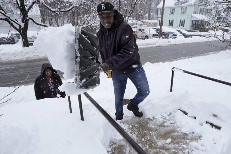
But that doesn't mean people in New England and other northern states should keep their snow shovels in storage, he says Auroop Gangulyco-director of Northeastern's Global Resilience Institute;
El Nino-based warming is an average that allows for fluctuations that could become more pronounced due to climate change, he says.
“In places like Boston or the Northeast in general, just because temperatures will generally be warmer doesn't mean we won't have one or two pretty intense snowstorms,” Ganguly says.
“You always have to be prepared.”
The National Oceanic and Atmospheric Administration He says the weather phenomenon – which means “little boy” in Spanish – got its name from South American fishermen who first noticed periods of unusually warm water in the Pacific Ocean in the 1600s.
“The full name they used was El Niño de Navidad because El Niño usually peaks around December,” says NOAA.
El Niño can significantly affect global weather conditions by weakening the trade winds that normally blow westerly over the equator and in the Pacific and causing the Pacific jet stream to shift south, according to NOAA.
“Typically, moderate to strong El Niño conditions during the fall and winter result in wetter than average conditions from southern California to the Gulf Coast and drier than average conditions in the Pacific Northwest and Valley of Ohio,” NOAA says.
This year too, El Niño is strong, says Ganguly.
During an El Nino pattern, winter means the chances of warmer-than-average temperatures in northern states increase, while conditions in the Northeast will be wetter than in the West and Midwest, Ganguly says.
In southern states, El Niño increases the chance of flooding and wild storms, he says.
El Niño and its climate opposite — La Nina for “little girl,” when Pacific waters are colder than normal — occur every two to seven years, but not on a regular basis, according to NOAA. La Nina is associated with cooler temperatures in the Pacific.
Weather patterns associated with the El Nino Southern Oscillation typically last nine to 12 months, are most noticeable in the fall and winter, and taper off in the spring, Ganguly says.
“El Nino causes a lot of changes in weather patterns around the world,” says Ganguly.
It has been called the 'seesaw' effect for the way it causes floods in Peru and parts of South America and droughts in the Sahel part of Africa, he says. The Sahel stretches from northern Senegal in the Atlantic Ocean to Sudan.
El Niño weather patterns, although complex, change the global atmospheric circulation in familiar ways.
One question that remains is how it interacts with climate change, Ganguly says.
“The oceans are already warm. How does El Nino interact with this warming? I don't think we quite know it yet.”
Climate change is already making the extremes more extreme at both ends of the spectrum, Ganguly says.
Colds may become less frequent but more intense and last longer, for example, he says.
There is some evidence that El Niño could amplify fluctuations, but that is still up for debate, Ganguly says.
It shows a March 2023 article in Time magazine This says that naturally occurring periodic temperature increases associated with El Niño – the last strong one was in 2015 – are no excuse for abandoning efforts to combat climate change.
“Each El Nino signature is different and manifests in different ways,” says Ganguly. “These are very interesting times, in the sense that we're learning a lot about how these things interact.”
Cynthia McCormick Hibbert is a reporter for Northeastern Global News. Email her at c.hibbert@northeastern.edu or connect with her on X/Twitter @HibbertCynthia.


