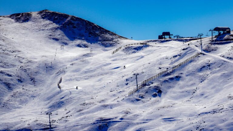
A pair of winter storms will bring snowy weather to two separate areas of the country on Wednesday and Thursday. Neither event is expected to be overly disruptive, forecasters say, but each could cause some minor travel problems where the flakes fly.
The two areas that will be affected by winter precipitation are parts of the Northeast and the Colorado Rockies.
Elsewhere Tuesday, record-breaking heat was forecast for parts of the South, and a combination of smoke and smog was blamed for another fatal traffic accident in New Orleans.
Snow, ice target Northeast
The northeast winter storm will primarily affect upstate New York and northern New England starting later Wednesday and lasting through early Thursday.
Cities like Burlington, Vermont. Manchester, New Hampshire? and Portland, Maine, are among the locations likely to get a little wintry mix from the storm later Wednesday night into Thursday, according to AccuWeather Senior Meteorologist Alex Sosnowski.
“A little ice can make some surfaces slippery in Albany, New York and Worcester, Massachusetts,” he added.
The National Weather Service forecast office in Gray, Maine, he said “accumulation will be light…but there is a chance for some slick conditions.” As of Tuesday afternoon, no winter weather advisories or winter storm watches had yet been posted for the storm.
Further south, including New York, Philadelphia and Boston, the air will be a little too warm to allow for ice or snow, Sosnowski said.
Snow is also expected in Colorado
Another snow event is on the way for Colorado, including the Denver metro area.
The second accumulated snow for Denver In just over a week it's gearing up as another push of cold air approaches the region, AccuWeather said.
“This particular snow event coming Wednesday night into Thursday morning is likely to be much less severe for the Denver metro area compared to the heavy snowfall since late October,” said AccuWeather meteorologist Brian Wimer.
He said the storm is likely to bring a coating of perhaps 1 inch across the metro area with 3 to perhaps 6 inches farther west over the foothills and 6-12 inches along the Front Range. Motorists in the area and airline passengers traveling through Denver International Airport may experience some travel delays for Thursday morning.
The weather service in Denver he said that by Thursday, “the weather system will move southeast of the area with prolonged light snow ending over higher ground in the morning.”
Record heat in the South
While parts of the northern tier of the nation are experiencing winter-like weather, summer heat will be the main story in the South over the next couple of days.
A southerly air flow across the central and southeastern US will bring unseasonable warmth to much of the Great Plains on the East Coast before a cold front sweeps through on Thursday. the weather service said.
Many places from the Southern Plains to the central and southern Appalachia could see record high temperatures Tuesday and Wednesday as readings soar. 1980s from Arizona to Virginia.
Another fatal accident in New Orleans amid smoke, fog
Thick smoke reminiscent of last month's “superfog” that swept through Louisiana led to a fatal crash that closed Interstate 10 in the New Orleans area early Tuesday, police said.
One person was killed and several others were taken to hospital after the crash, which happened around 4.30am
Several fires were burning in the area and the weather service had issued a thick smoke warning. Forecasters also noted “limited fog” in the area.
The smoke had mostly cleared by noon, but conditions remained hazy, according to the weather service. The interstate is expected to remain closed until late this afternoon, Weather.com mentionted.
“This was yet another example showing that dangerous weather can occur in the absence of a storm,” said Weather.com senior meteorologist Jonathan Erdman.
Contributed by The Associated Press


